Renewable Energy Zone Mapping (REZOMA)
Renewable Energy Zone Mapping (REZOMA) is a systematic approach to locating and designating the most favorable geographic areas for renewable energy (RE) projects, particularly onshore wind and ground-mounted solar PV. By integrating technical, environmental, and societal factors, REZOMA offers a spatial blueprint that helps governments, developers, and local communities make informed decisions about the siting of RE installations well before any formal project is proposed.
Core Methodology
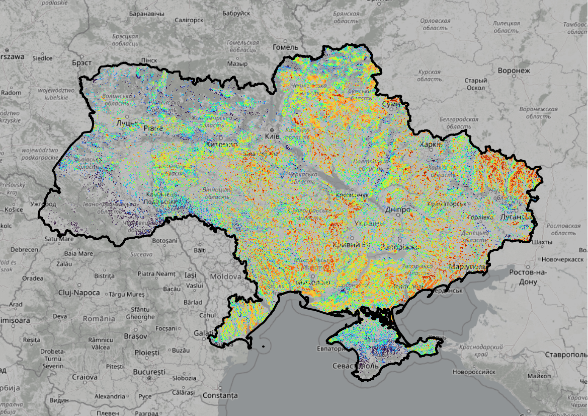
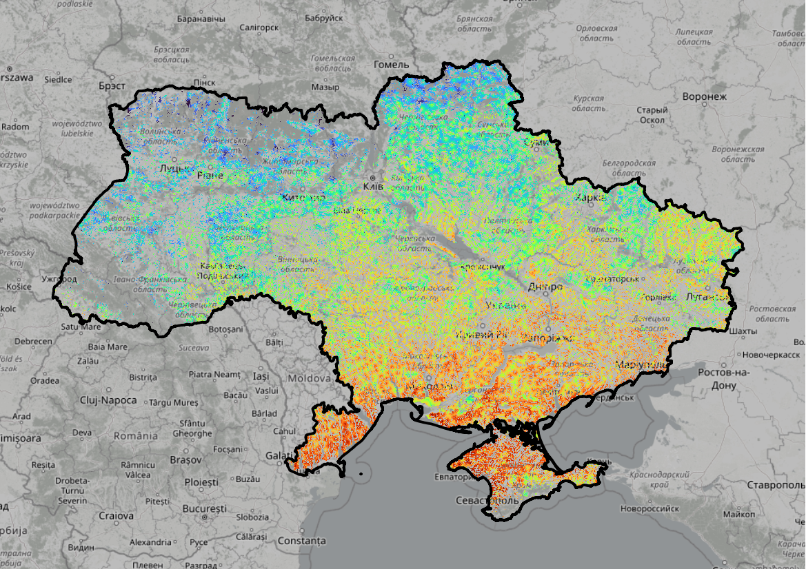
At the heart of REZOMA is a GIS-based suitability analysis, which calculates scores for every 25?25-meter cell across Ukraine based on thresholds, constraints, and opportunities. These parameters range from wind and solar resource availability to proximity to transmission grids, residential areas, and environmental sensitivities. Each parameter receives a positive or negative value reflecting its impact on the feasibility and desirability of placing RE installations. Areas with particularly high total scores are then delineated as prime "zones" or "sites" for development. By assigning values systematically, REZOMA fosters transparency and consistency, creating a fair basis for dialogue among stakeholders.
Benefits and Impact
Importantly, the intention of REZOMA is to accelerate project timelines. For instance, regulatory approvals can significantly delay RE projects, but by proactively identifying sites that meet environmental, technical, and land-use criteria, the process reduces uncertainty and can streamline permitting. When authorities preapprove high-scoring sites, developers can focus on locations with a stronger likelihood of success, while local stakeholders gain clarity on the logic behind site selection. This collaborative, data-driven approach not only bolsters public acceptance-by minimizing subjective preferences-but also aids in balancing environmental protection, cultural heritage, and community concerns with the urgent need to expand energy production in Ukraine. In short, REZOMA serves as a planning tool, guiding governments, industry, and communities.
Getting started
If there are any doubts about the process or any uncertainty regarding how to use REZOMA, please refer to the guide. It provides an explanation of the different functionalities, which can be used to pick out relevant sites for photovoltaics or wind turbines in Ukraine.
